
Tornado Warning!!!

Updated: Aug 16
What a day! The day ended with Emergency Alerts on our phones! Tornado Warnings! "Take shelter now in a basement or an interior room.........!"
But let me back up and start from the beginning of the day.
We left The Land of Milk & Honey, a Harvest Host in Deep Gap, North Carolina. At the time we went through North Carolina, over four months after Hurricane Helene, some areas of the state were still struggling with cleanup. 😔 We went through Boone, Vilas, Banner Elk, and Elk Park. The damage to Interstate 40 was significant. Parts of the Interstate collapsed due to flooding. There were many roads, including areas of the Blue Ridge Parkway, that were closed. Our prayers go out to those affected. 🙏
Roan Mountain has an elevation of 6,277 feet and straddles the North Carolina-Tennessee state line. The Appalachian Trail crosses directly over Roan Mountain and the adjacent Roan Highlands. We used to hike sections of the Appalachian Trail when we lived in New York. John and I often wondered what it would be like to hike the entirety of the Appalachian Trail (Georgia to Maine, which spans 2,100 miles), but we had two beautiful daughters instead. No regrets! Our daughters brought us plenty of adventure!
We drove into the valley of Russellville, Tennessee, where the Bethesda Presbyterian Church was used as a hospital during the Civil War with over 80 unknown soldiers buried in mass graves in the neighboring cemetery. About one mile from downtown was Cheek's Crossroads, which was a pioneer stopping point for supplies and to rest livestock. The store's ledger books recorded that David Crockett hired himself out to Jesse Cheek at this very intersection to work a cattle drive from Tennessee to Virginia. Fascinating stuff!
We continued on our drive, passing Cherokee Lake and headed into Bean Station, one of Tennessee's earliest pioneer frontier outposts. Our journey continued through Thorn Hill, Tazewell, Harrogate, and Cumberland Gap.


Cumberland Gap is a mountain pass in the Appalachian Mountains, where Tennessee, Kentucky, and Virginia meet. The early trail was carved by migrating buffalo. It was used by Native American as a footpath and later widened by Daniel Boone in 1775. More than 200,000 settlers passed through the gap to reach Kentucky and Tennessee frontiers. During the Civil War, control shifted multiple times between Union and Confederate forces due to its strategic position. Today there is a mile-long twin tunnel system that carries U.S. Route 25 East safely underneath the mountain pass.

This was a gorgeous day of driving from the heart of the Blue Ridge Mountains in North Carolina, down through the river valleys of East Tennessee, through Cumberland Gap, and into the rolling hills of Southeastern Kentucky. And imagine the pioneers who walked these lands so long ago!
During the last portion of our drive, we entered Kentucky through Middlesboro and went through Pineville, Fourmile, Flat Lick, Barbourville, and into Corbin, where we stayed the night.
We arrived at Falls Creek Campground in Corbin, Kentucky and settled on site #102. The National Weather alert went off on both our phones. It reported a tornado warning and to take cover! When our phones went off a second time, we decided to put the camper in the down position and wait it out. Then the owner of the campground banged on our camper door (during the storm.....bless her!) to tell us where the tornado shelter is located. 😳 😱 I am not going to sugar-coat this........it was definitely spooky!

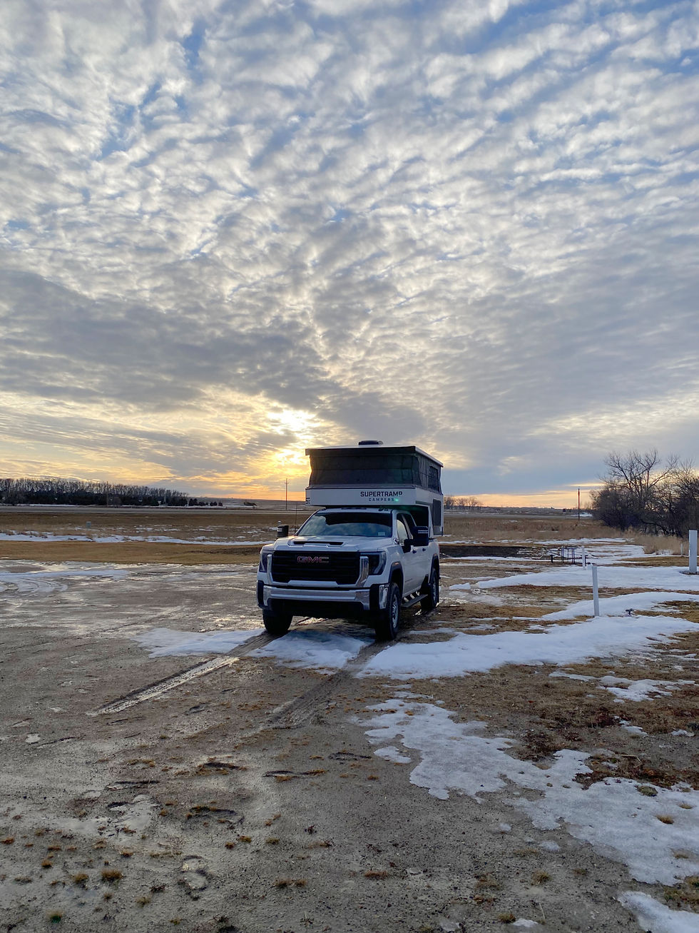
We pulled up the Weather Channel and determined where the hook was on the radar map. It was near the Dollar General that we had just stopped at on our way to the campground - - about 2 1/2 miles away! What to do? "Alert: If you are outdoors, in a mobile home, or in a vehicle, move to the closest substantial shelter and protect yourself from flying debris." Our truck and camper were brand new at that point. We......maybe stupidly......decided to stay put. We rode out the storm in our truck camper. We decided to go down with the ship, if that's what was to be. We got out the game Trouble to try to distract us, which was really quite unsuccessful.

Phew 😮💨......the storm passed. We put the camper in the up position and watched an episode of Gold Rush before turning in for the night. We live to see another day!
W h a t a d a y !
You would think we would hit the road and get out of town the next morning after that kind of weather, but we actually didn't go far. Tune in next week for where we headed!


Wow! What a great read!